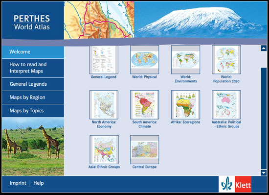
Klett-Perthes Atlas
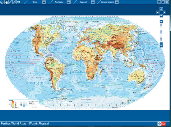
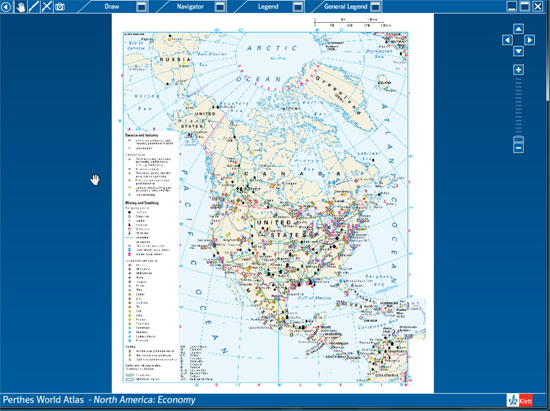
These are just a few screenshots of the hundreds of maps available on the Klett World/US portion of our eMapshop product line. Click here to watch a video tour of our Klett product and see a full listing of the maps included below.
The Klett collection includes over 180 maps, graphics, and images for presentation and education. The maps are interactive – you can zoom/pan and use the drawing tool to highlight portions of the map. Legends can be switched on and off and maps can be saved for use in other documents.
This package is an add-on to any standard eMapShop map package. Please contact us at 804-320-0719 or staff@globeandmapshop.com and we’ll tailor a set of maps for your class or school.
| World Maps | ||
| Political | Time Zones | Income Inequality |
| Physical | Energy Resources | Childhood under Threat |
| Phys.- Pacific & Atlantic | Population Density | Female Income |
| Landforms | Population 2050 | Women in Govt. |
| Ocean | Population 2050 | Women in Govt. |
| Urbanization | Political Organizations | Natural Pop. Development |
| Economic Organizations | North Polar Region: Ocean Floor | Migration |
| United Nations | South Polar Region: Ocean Floor | Life Expectancy |
| European Union | Continental Drift | Education |
| Violent Conflicts | Plate Tectonics 1:160,000,000 | Gross Domestic Product |
| Income Inequality | Earthquakes | Human Development |
| Childhood Under Threat | Earthquakes | Human Development |
| Volcanism & Geotectonic Processes | Male/Female Ratio | Female Income |
| Climate | Population by Age | Women in Government |
| Precipitation in January | Health | Political Organizations |
| Average Annual Precipitation | Employment by Sector | United Nations |
| Precipitation Variability | Employment of Women | European Union |
| Water Resources 2000 | International Tourism Receipts | Violent Conflicts |
| Water Resources 2025 | International Tourist Flows | Income Inequality |
| Water Use by | Religions | Energy Consumption |
| Water Stress | Official Languages | Export Concentration |
| Temperatures in January | Ethnic Diversity | Trade in Agricultural Products |
| Temperatures in July | Cultural Regions | Trade in Mining Products |
| Air Pressure & Winds in Jan. | Government Expenditures | Trade in Manufactured Goods |
| Air Pressure & Winds in July | Military Expenditures | Telecommunication |
| Eco-zones | Foreign Direct Investment | Carbon Dioxide Emission |
| Soils | Foreign Aid | Freedom and Democracy |
| Biodiversity | Debt Burden | The World from Washington, D.C. |
| Agriculture | Displaced Persons | Population Density |
| Desertification | Nutrition | Population 2050 |
| Deforestation | Hunger | Urbanization |
| Environments | Natural Resources/td> | Natural Pop. Development |
| Natural Hazards | Agricultural Resources | Migration |
| Life Expectancy | Violent Conflicts | |
| North America Maps | ||
| Physical | Environments | Economy |
| Political | Environments | Ethnic Groups |
| Climate | Natural Hazards | Canada Physical |
| Canada Political | U.S.A. Physical | U.S.A. Political |
| U.S.A. Political | Canada Southwest | Canada South Central |
| Canada Southeast | U.S.A. Northwest | U.S.A. Southwest and Hawaii |
| U.S.A. North Central | U.S.A. South Central | U.S.A. Northeast |
| U.S.A. Southeast, Outlying Territories | Central America | |
| South America Maps | ||
| Physical | Environments | Economy |
| Political | Ethnic Groups | Climate |
| Protected Forests | Northern South America | Southern South America, Lesser Antilles |
| Europe Maps | ||
| Physical | Environments | Economy |
| Political | Ethnic Groups | Climate |
| Tourism | British Isles, Faroe Islands | Northern Scandinavia, Iceland |
| Southern Scandinavia, Baltic States | Central Europe | Spain & Portugal |
| France | Italy | Southern Balkan States |
| Southeastern Europe, Turkey & Caucasian States | Central European Russia | Northern European Russia |
| Southeastern Europe, Turkey & Caucasian States | Central European Russia | Northern European Russia |
| Asia Maps | ||
| Physical | Environments | Economy |
| Political | Ethnic Groups | Climate |
| Population Density | Russia and Central Asia | Southwestern and South Asia |
| Middle East | Eastern Asia | Southeastern Asia |
| Australia Maps | ||
| Environments | Physical | Climate |
| Political | Ethnic Groups | Economy and Foreign Trade |
| Australia & New Zealand | Australia & Oceania: Environ. | Australia and Oceania: Physical |
| Africa Maps | ||
| Physical | Environments | Economy |
| Political | Ethnic Groups | Climate |
| Eco-regions | Northern Africa | Southern Africa |
| Polar Region Maps | ||
| North Polar Region: Physical | North Polar Region: Political | North Polar Region: Physical |
| South Polar Region: Physical | South Polar Region: Political |