Basic Middle School Package
Our Middle School collection includes 193 maps that cover multiple aspects of your curriculum. We include world maps in multiple projections that chart geographic, historic, and scientific data and they are the perfect companion to your lessons on the world’s population, languages, or early explorers (just to name a few). In addition to traditional political and relief US maps, our collection includes maps showing climate, land use, time zones and much more. This is the only map collection specifically designed around supporting middle school curriculums in categories that develop map skills, illustrate civic and government lessons, and explain events throughout history.
Fully Interactive
Zoom, pan, add notes, print, and save your maps.Layered Maps Also Included
Toggle layers to display or hide the data that best complements your lessons.Customizable
We develop the exact maps needed for your curriculum.Any Map Is Possible
Our team at eMapShop has decades of experience designing maps to schools. You will get exactly what you need.193+ Maps Included!
You will have a reference for EVERY lesson.Beautiful, Data-Rich Maps Always Available
Save time in lesson planning, you no longer have to hunt down references that visually demonstrate your lessons.Custom Options!
Customize the package to your curriculumFull Customization Available For:
County site licenses and multi-school licenses (4 or more)Our Basic Middle School Package Includes:
Interactive Continent Maps
- U.S. History after 1870
- World History 1900-Present
Civic and Government Maps
World Maps Covering Climate, Landuse, Population and more
Multiple Earth Projection Maps
Maps with the World’s Physical Features
Illustrations of the Types of Communities
Community Government Maps
Maps Illustrating Historic Events
World Political Maps
Continent Maps in Multiple Styles
Polar Region Maps
State-Specific Maps
Blank Maps for Testing
Basic Middle School Package
- One-Time Fee, You Own the Maps for Life!
- Add 69 World History up to 1500 map collection for +$199.00
- Add 45 US History up to 1865 map collection for +$149.00
- Add Klett-Perthes 180 Digital World & Human Geography map DVD for +$499.00
- Add 28 map Foreign Language collection for +$199.50
- Add 31 North American Studies map collection for +$129.50
Just a Few Examples of Our Maps
Over 193 maps are included in this package in various projections and in various styles. If we don’t already have the map you need, we will make you a map that will fit your curriculum. Here are a few examples of our maps. (Please note most maps are cropped here to show detail.)
Pre-Columbian North America
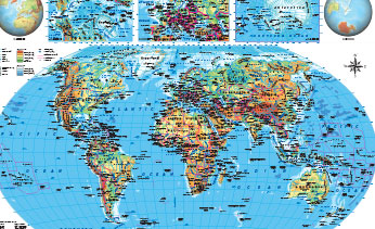
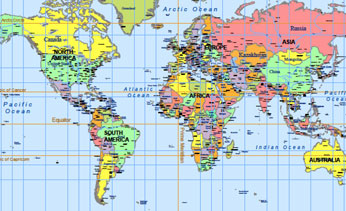
Detailed World
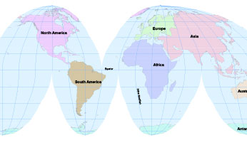
World Interactive
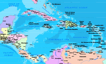
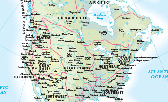
Central America
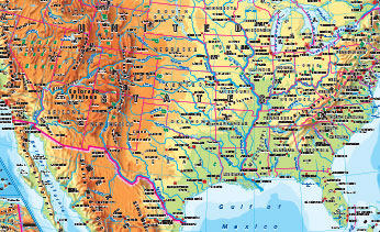
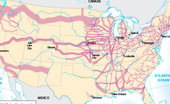
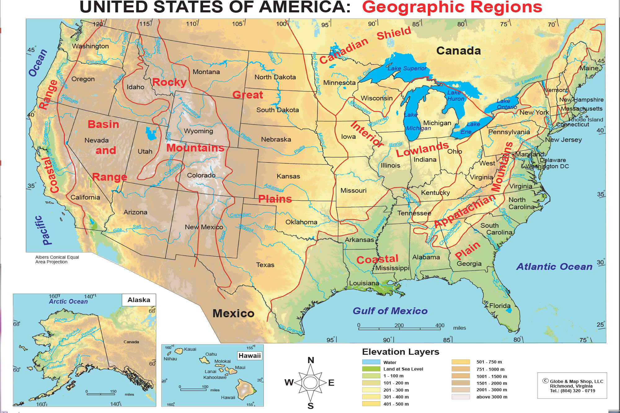
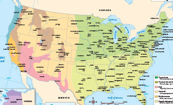
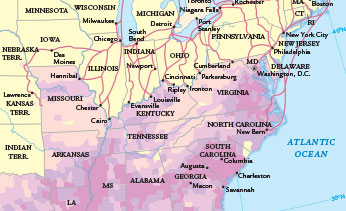
Detailed US Physical
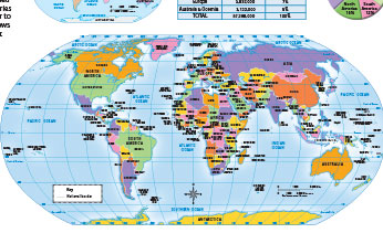
World Political
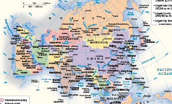
Asia Political
Map Projections Explained

The 1900s

World Physical

Pre Human
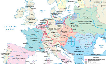
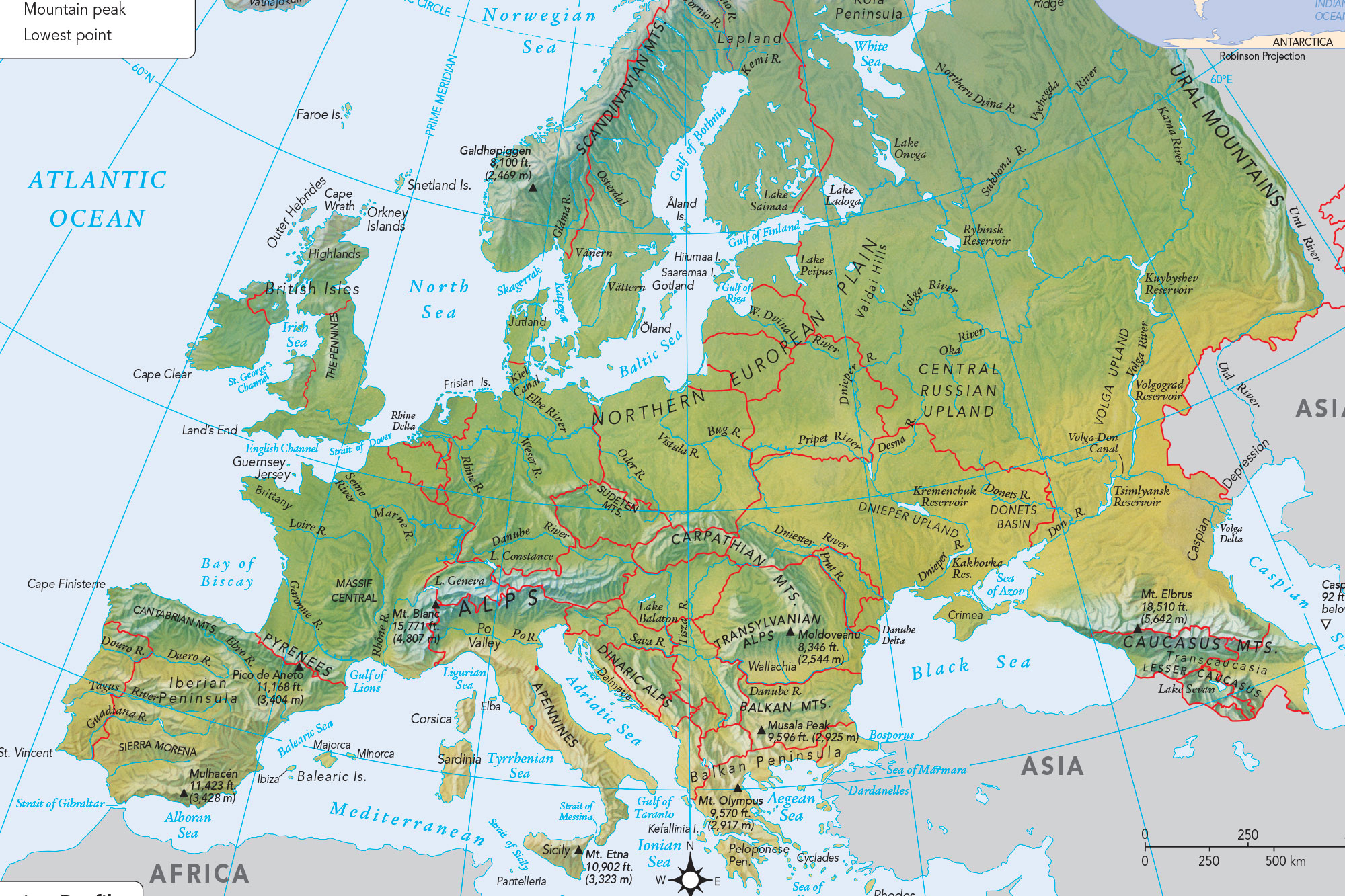
Historic Europe
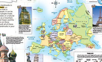
Continent Maps
US Climate
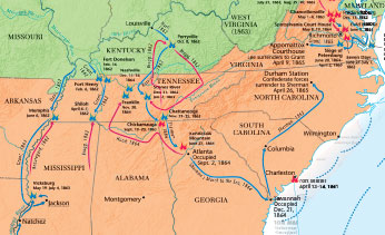
Civil War
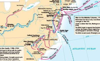
American Revolution
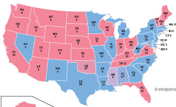
Election Maps
Outline Only Maps
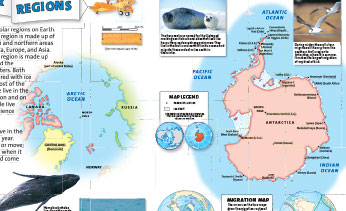
Polar Regions
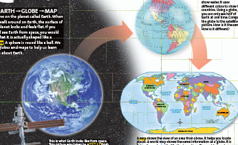
Earth & Globe
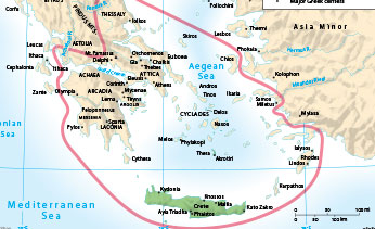
Aegean Greece
Underground Railroad

Roman Empire
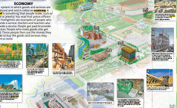
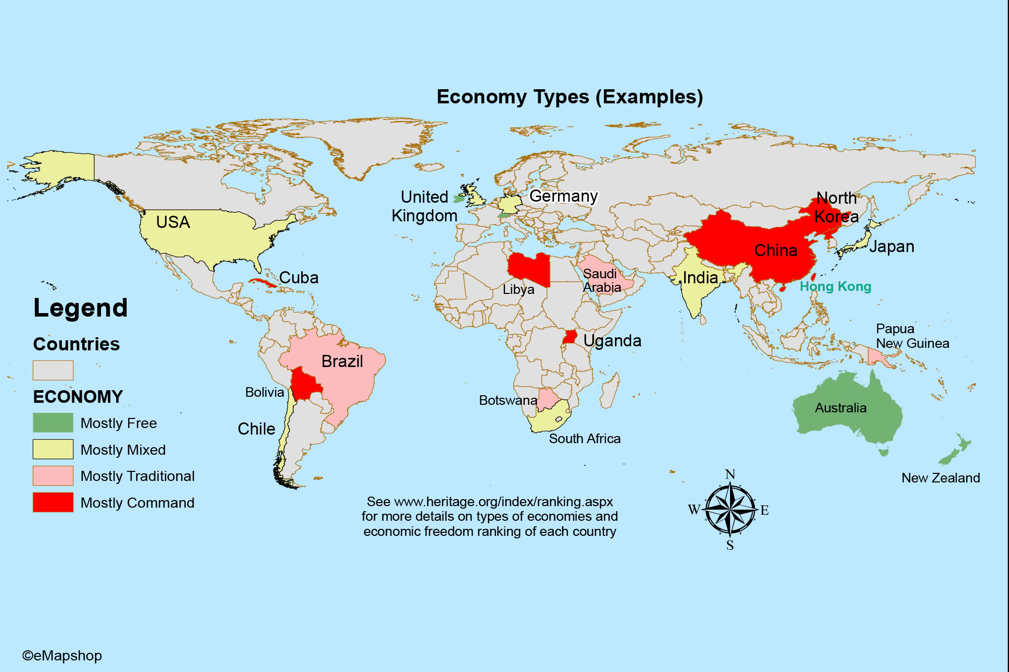
Economy Intro
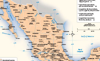
Mexico Facts
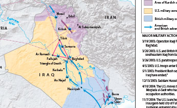
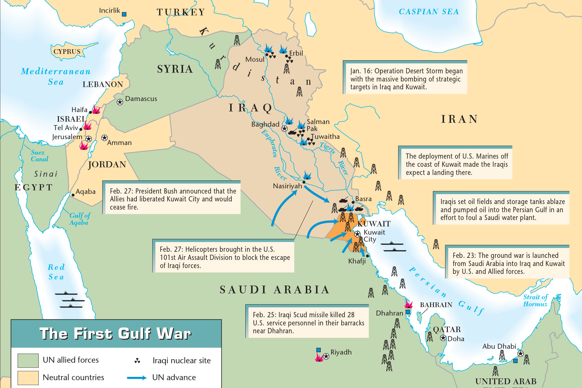
Iraq War
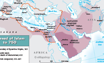
Spread of Islam
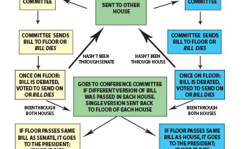
Bill to Law
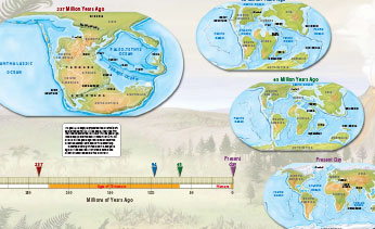
Continental Drift
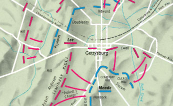
Battle of Gettysburg
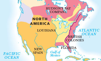
European Claims
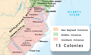
13 Colonies